
 Team Hello Vizag
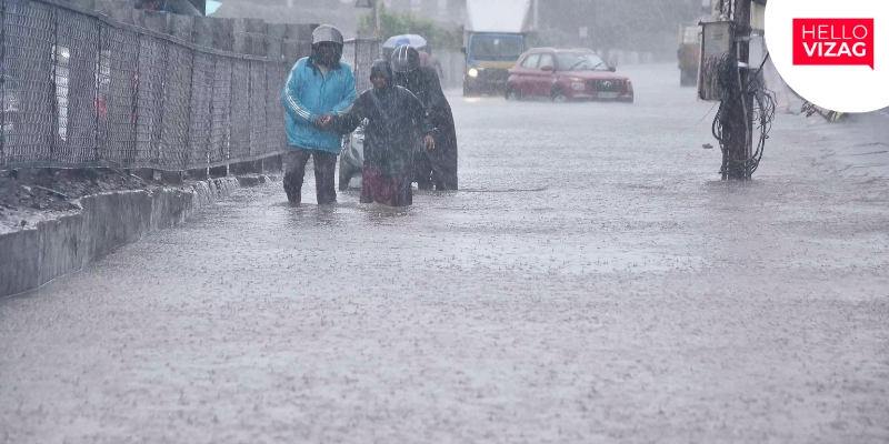
A low-pressure area has formed over the Bay of Bengal and is expected to move in a west-northwest direction while gradually intensifying over the coming days. According to forecasts by the India Meteorological Department (IMD), the Global Forecast System (GFS), and the European Centre for Medium-Range Weather Forecasts (ECMWF), the weather system could strengthen further by July 5.
Meteorological models indicate that the system may develop into a well-marked low-pressure area or cyclonic circulation over the Bay of Bengal. However, weather experts have clarified that it is still too early to accurately predict its exact path, intensity, or potential landfall. Current estimates suggest there is only about a 30% probability of the system intensifying into a cyclonic storm.
If the system strengthens, it is expected to bring widespread rainfall across Andhra Pradesh during the first week of July. The rainfall is likely to provide significant relief to farmers preparing for the ongoing Kharif cultivation season, especially after below-normal rainfall during June.
The anticipated showers are also expected to improve groundwater recharge, replenish reservoirs, and ease water scarcity in several parts of the state. Officials continue to monitor the system closely and are expected to issue further updates as weather conditions evolve.